


A well-marked low-pressure area is lying over northwest Bay of Bengal and adjoining coastal Odisha, north Coastal Andhra Pradesh and adjoining westcentral Bay of Bengal
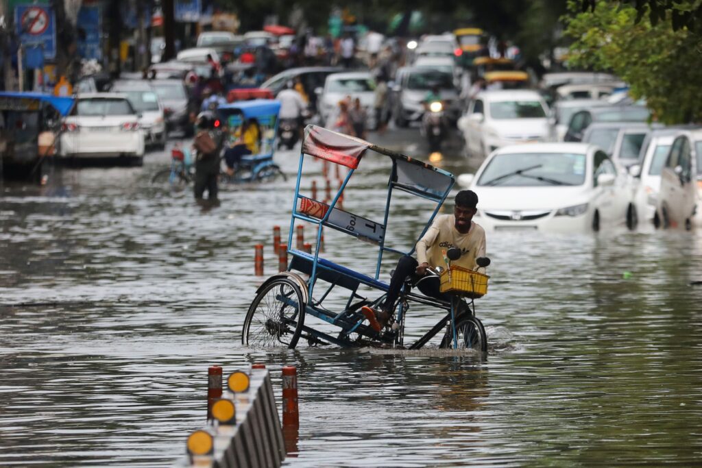
On Sunday, several parts of Chhattisgarh, Konkan, Goa, Vidarbha and Odisha recorded extremely heavy rain.
The monsoon trough is active and lying south of its normal position. It will continue to remain so during the next 4-5 days. A well-marked low-pressure area is lying over northwest Bay of Bengal and adjoining coastal Odisha, north Coastal Andhra Pradesh and adjoining westcentral Bay of Bengal.
It is likely to concentrate into a depression during the next 24 hours and move west-northwestwards across Odisha and Chhattisgarh.
An east-west shear zone is running over north peninsular India. It is likely to persist during the next 3-4 days. Under the influence of these systems, widespread rainfall with isolated heavy rain and thunderstorm or lightning is very likely over Gangetic West Bengal during till August 11; Jharkhand on August 10 and 11; Odisha till August 12; Assam & Meghalaya on August 8 and 9 and over Nagaland, Manipur, Mizoram & Tripura till August 12.


More Stories
नेपाल में बालेन शाह की पार्टी RSP ने दर्ज की बड़ी जीत अन्य पार्टियां काफी पीछे
IND vs NZ T20 World Cup Final: What Kind of Pitch Will Ahmedabad Offer
AIIMS जोधपुर से पढ़ाई, UPSC में टॉप कर बने मिसाल अनुज अग्निहोत्री